Nederlands
Google DeepMind releases free AI rain maps of the whole world
Google DeepMind is making worldwide rain estimates from an AI model freely available. They are ready on average five hours after the rain, while NASA's most accurate product takes months. In Google's own tests they also score better.
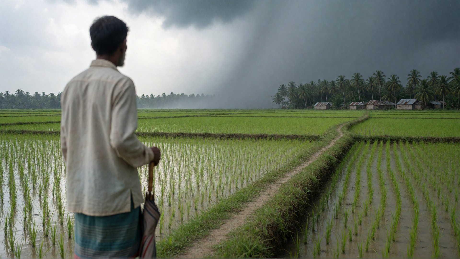
Measuring how much rain has fallen somewhere takes rain gauges or a weather radar. These are found mostly in rich countries. Over oceans, deserts and large parts of Africa and Asia there are hardly any, even though droughts and floods happen there too. Researchers in those places have to rely on satellites, which often can only see rain indirectly.
, Google DeepMind and Google Research made two datasets freely available. The most important one is called PARDIG. In it, an AI model estimates every fifteen minutes how much rain is falling across the whole world, in squares of about ten by ten kilometres. The record goes back to 1999. Anyone may use the data, including for commercial purposes, as long as Google is credited as the maker.
How it works
The model learned from a rain radar in space: the GPM Core Observatory, a satellite of the American and Japanese space agencies NASA and JAXA. It measures rain accurately, but only ever sees a narrow strip of the Earth. PARDIG learned to imitate those measurements from data that is available everywhere and all the time: images from weather satellites that hover over a fixed spot above the equator, and weather data from the European weather centre ECMWF. This way it can also estimate rain where the radar satellite is not passing over at that moment. The model does not use rain gauges or weather radars on the ground anywhere.
The estimates become available on average about five hours after the rain. NASA's most accurate comparable product, IMERG-Final, waits for a monthly correction with rain gauges and only appears after about three months. The fast version, IMERG-Early, is ready after about four hours.
The second dataset, SatWeave, combines the images from those weather satellites into a single picture of the whole Earth that is updated every hour. Google uses both for its weather model WeatherNext 3: SatWeave as an up-to-date picture of clouds and showers, PARDIG to teach the model to forecast rain.
Better than NASA, in Google's tests
The makers compared the estimates with measurements from more than 36,000 weather stations worldwide. They counted how often an estimate correctly pointed to rain, and counted missed showers and false alarms as errors. On that scale, where 1 is perfect, PARDIG scores 0.36 on average for rain of 1 millimetre per hour, against 0.28 for IMERG-Final. In the tropics the difference is bigger: 0.36 against 0.24. According to the makers, PARDIG also scores best against weather radars in the United States, Europe and Japan, for every amount of rain, and beats IMERG-Early as well.
These figures come from a research paper by Google itself, which appeared online . The next step is for independent researchers to check the results.
Heavy downpours remain difficult. During the floods in Texas in July 2025, PARDIG reached a score of 0.10 in the worst-hit area, Kerr County, for 25 millimetres of rain per hour, against 0.02 for IMERG-Final. That is better, but most heavy downpours were still missed or placed in the wrong spot. The model also never works with more than 75 millimetres per hour, so the most intense peaks are flattened. In high mountains such as the Alps and the Rocky Mountains its lead is smaller, and at some of the stations there IMERG-Final does better.
Google calls both products experimental: PARDIG is not an official observation or warning. Researchers can explore the data themselves with a guide from Google.
What does this mean for the road to the singularity?
AI weather models learn from measurements, and good rain measurements are missing precisely where floods and droughts often hit hardest. What is new is that an AI model fills in the gaps in the measurements itself, and that this filled-in data in turn becomes the learning material for the next AI model. According to Google, WeatherNext 3 makes about 15 per cent smaller errors in rain forecasts when it learns from PARDIG instead of from NASA's data. If that trend continues, every improvement to such an estimator makes the forecasters better, and better forecasters can in turn help improve the estimator.
By giving the data away for free, Google makes it a starting point that other researchers build on and compare their own models with. Anyone who keeps their data behind a paywall then loses users. In the best outcome, a water authority in Bangladesh or a farmer in Malawi gets rain information within a few hours that is as good as what people in Western Europe have, and flood warnings there can come sooner. There is one risk: if many models learn from the same AI data, an error in it can slip unnoticed into all those models. Measurements on the ground therefore remain necessary as a check.
What is the technological singularity? Read the explanation →