Nederlands
AI from Google and NASA finds many more methane leaks in satellite images
Google Research and NASA built an AI model that detects methane clouds in measurements from the International Space Station. In a test it found about 50% more likely methane plumes than human analysts. The model, code and map are freely available.
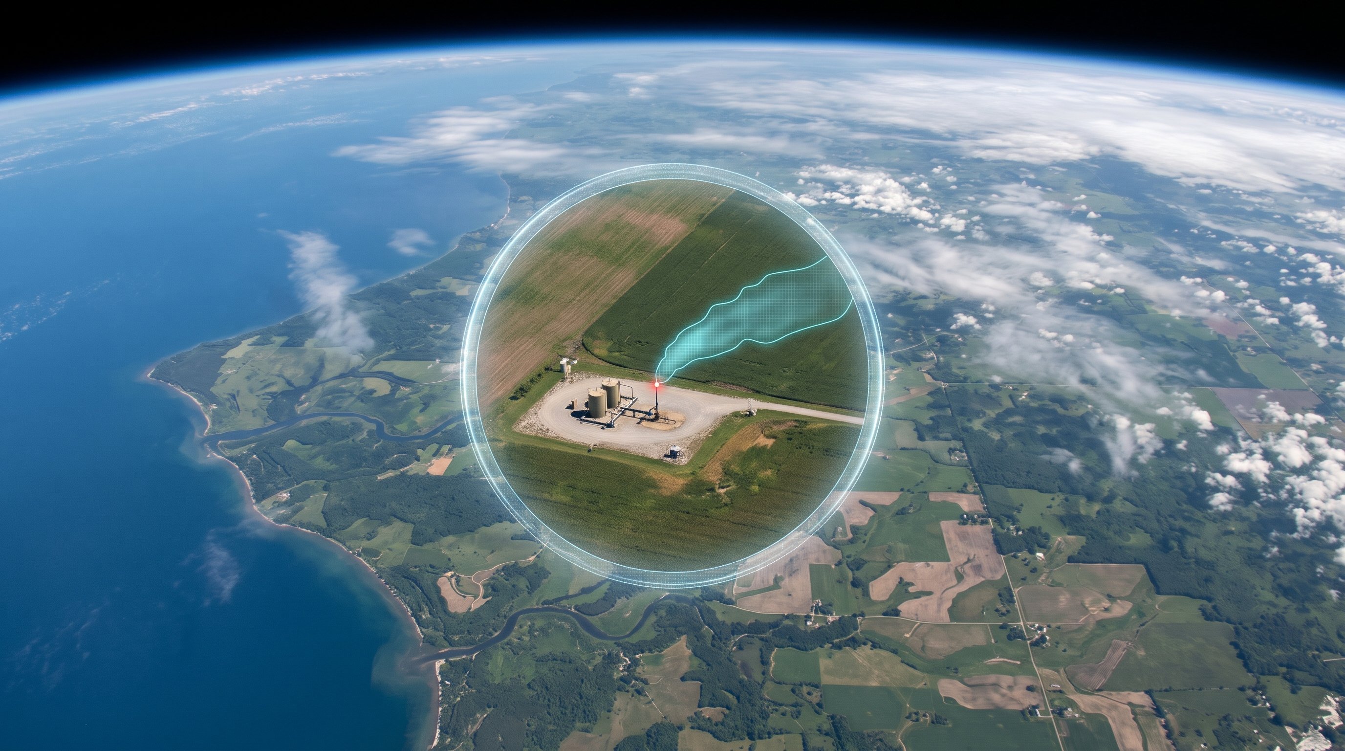
After CO2, methane is the most important greenhouse gas. It disappears from the air faster than CO2, but in its first twenty years it traps more than 80 times as much heat. A lot of methane comes from leaks at oil and gas installations, coal mines and landfill sites. If those leaks are found quickly, they can also be sealed quickly. That is one of the fastest ways to slow down global warming.
Google Research and NASA's Jet Propulsion Laboratory (JPL) have built an AI model for this. Their system, called MAPL-EMIT, looks for methane clouds in the measurements of EMIT, a NASA instrument on board the International Space Station. In a test with about 1,100 images, the model found about 50% more likely methane plumes than human analysts. Of the plumes that experts had earlier marked by hand, it found 84%. The research was published in the scientific journal PNAS.
Why methane is so hard to see
EMIT is a so-called imaging spectrometer: it measures not only how bright each patch of the earth is, but also exactly which colours of light come back, including colours our eyes cannot see. Each pixel covers about 60 by 60 metres. Methane absorbs certain colours of sunlight. So above a leak, slightly less of those colours comes back.
The instrument was actually built to map minerals in desert areas, but it also picks up this methane signal. The usual calculation method looks for the signal pixel by pixel. That easily goes wrong: a bright roof or a certain type of soil can look just like methane. And the method does not see that a real plume has a shape, a streak that drifts with the wind from a single source.
MAPL-EMIT looks at both at the same time: at the light signal of each pixel and at the pixels around it. This way it recognises the shape of a plume, just as you recognise smoke by the way it drifts away from a chimney. The model estimates how much extra methane is in the air, draws the edge of each plume, even when plumes from neighbouring installations run into each other, and points out where the leak probably is. On simulated test images, that estimate was on average about 100 metres from the real source. The model also found plumes at 24 of the 25 landfill sites that emit the most methane worldwide.
Learning from simulated plumes
Training such a model takes many examples, and only a few thousand real plumes marked by people existed. So the team made examples themselves. With a physics simulation that imitates how gas spreads out in a changing wind, they created 3.6 million fake plumes. They pasted these into about 235,000 pieces of real EMIT images. This taught the model what a plume looks like in practice, against all kinds of backgrounds.
What still needs to improve
Not every detection is a hit. People checked samples: for the detections the model is sure about (plumes seen at least three times), 3 to 5% were false alarms. For the doubtful cases, this was 50 to 55%. That second group still needs to be checked by people or by other measurements.
The model also measures how much extra methane is in the air at that moment, not how much flows out of a leak per hour. Calculating that also requires data about the wind.
Google is putting everything online for free: the map of the plumes found in Google Earth Engine, the software on GitHub and the trained model with the fake plumes on Kaggle. Other researchers and governments can therefore start using it straight away.
What does this mean for the road to the singularity?
This is a good example of AI speeding up science. A single model can now search all EMIT images and also finds smaller leaks that were overlooked before. That is becoming more and more important: according to Google, NASA's next measuring instruments will capture 30 to 50 times as much of the earth. People can no longer look through that much data by hand.
The approach is interesting too. Where there are too few real examples, a physics simulation can supply the missing practice material. In this way AI can also learn to see other things on earth that are still hard to find today.
What is the technological singularity? Read the explanation →